Irreplaceable Places
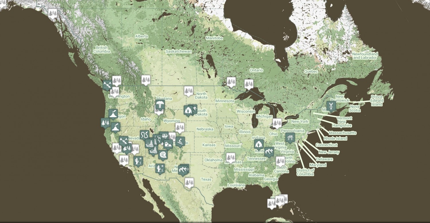
An interactive guide to America’s National Parks is useful combination of text, photos and maps. Check it out. And then think about making this more visual, more alive and more real-time. How would we do that? I think maps as an interface to our real world is still a virgin territory for innovation. Google Maps new design is merely a start. It ends with Harry Porter’s map.
2 thoughts on this post
Comments are closed.
There can clearly be much more innovation. I’m a big fan of the synoptic approach and have been working on a soundscape project that looks at the acoustic environment of a place over a very long term so it can be accessed at time scales ranging from milliseconds to days. Our own senses are very limited, but our imagination is good.
There are great uses for maps, but I much prefer going to a place and witnessing it with my own very imperfect senses.
I’ve been thinking about this too. One of these days I’m going to develop a mobile walking tour and turn all of downtown Seattle into fun filled and fascinating learning adventure. Anyone anywhere can walk the streets our lovely, historic city, stand on any street corner and identify the buildings there, learn about the architecture and the architects who designed them. The same street corner will come alive and from the present day, go back 100, 500, 1000 years. They will see the old houses, old shops and the people who inhabited them. See the people milling about the streets, the occupations, fashions and mannerisms of the day. Rich history will bust off the screen for all to appreciate as it only can in an interactive map such as you describe, Om.